- Local News
- Sun-2020-11-08 | 01:03 pm

The Jordan Trail was initiated in 2015 by a group of local enthusiasts as a 40-day-long hiking journey from Umm Qais in the north to the Aqaba Port in the south, covering a distance of around 668km, according to organisers.
On the route, hikers would experience not only the stunning scenery but also the hospitality and cuisine of local communities, the organisers said, who added that the trail has the following stages: Umm Qais-Ajloun, Ajloun-Salt, Salt-Wadi Zarqa Main, Three Wadis-Karak, Karak-Dana, Dana-Petra, Petra-Wadi Rum and Wadi Rum-Red Sea.
"I became interested in the Jordan Trail because it is a project that engages with questions around cultural heritage and the relationship between territory and identity through the practice of long-distance walking trail,” said British geographer Olivia Mason from Durham University, who volunteered with the Jordan Trail Association in 2016-2017.
If tourists cover the distance between Umm Qais and Aqaba by a car or a bus they would be unable to socialise with members of 52 local communities and this is what makes the Jordan Trail "a unique experience”, Mason said.
Since Jordan has around 27,000 well documented archaeological sites, the trail would provide the opportunity to study historical periods from the Natufian culture to the Bronze Age and from the Iron Age to ancient Greco-Roman, Byzantine and Islamic civilisations, Mason said, adding that the trail captures the bedouin hunting movement.
For centuries caravan routes between the south of the Arabian Peninsula and Damascus, Petra, Gaza, Ashkelon, and Tyre in the Levant served as incense and spice roads, and this trail goes via territories of the ancient Moabite, Edomite and Ammonite kingdoms, she noted.
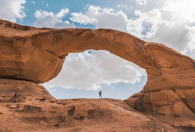
According to Mason, the section from Dana to Petra is one of the most scenic and the trail itself was named by National Geographic as one of the best 15 hikes in the world.
"It takes four days to walk and is moderately difficult but worth the challenge. It begins in the beautiful Dana Nature Reserve and finishes in the ancient city of Petra, which is entered via the back route past the Monastery,” she said.
The northern part of the Jordan Trail goes through more populous areas which enable hikers to spend more time with villagers enjoying the local folklore and cuisine.
"Indigenous, bedouin knowledge was particularly a key to the creation of the route as local nomadic communities were consulted throughout the drawing of the trail. Bedouin communities were able to share their knowledge about the routes they would commonly travel and helped to create a map of the route,” Mason pointed out, adding that many of these routes are not used regularly anymore due in part to the displacement of these communities to fixed settlements and due to new regional borders.
Therefore one of the aspects of the Jordan Trail is to recreate old, forgotten routes that were altered by displacements and state borders, and to recapture many traditional roads, she said.
Furthermore, many bedouins are employed as guides and often share indigenous knowledge, Mason elaborated, stressing that they know the characteristics of each plant and how they can be used for food or medical purpose, how to find the underground water stores, how to bake a traditional bedouin bread-Arboud and how to follow tracks of different wild animals.
"Spring is especially beautiful in the north because it will all be in full bloom. However, walking the entire trail in one go is a significant undertaking but a rewarding one. Not the entire trail is way-marked so the trail should be followed by using a GPS device. For those who don’t want to walk alone, the Jordan Trail Association organises an annual thru-hike that can be joined,” Mason said.


